Ecosyste.ms: Awesome
An open API service indexing awesome lists of open source software.
https://github.com/der-stefan/OpenTopoMap
A topographic map from OpenStreetMap and SRTM data
https://github.com/der-stefan/OpenTopoMap
garmin mapnik openstreetmap
Last synced: 4 months ago
JSON representation
A topographic map from OpenStreetMap and SRTM data
- Host: GitHub
- URL: https://github.com/der-stefan/OpenTopoMap
- Owner: der-stefan
- License: other
- Created: 2013-02-17T17:04:30.000Z (about 12 years ago)
- Default Branch: master
- Last Pushed: 2023-08-05T10:29:56.000Z (over 1 year ago)
- Last Synced: 2024-10-30T04:49:50.625Z (4 months ago)
- Topics: garmin, mapnik, openstreetmap
- Language: JavaScript
- Homepage: https://opentopomap.org
- Size: 2.71 MB
- Stars: 468
- Watchers: 51
- Forks: 119
- Open Issues: 148
-
Metadata Files:
- Readme: README.md
Awesome Lists containing this project
- awesome-starred - der-stefan/OpenTopoMap - A topographic map from OpenStreetMap and SRTM data (others)
README
OpenTopoMap
===========
OpenTopoMap is a topographic map out of data from OpenStreetMap and SRTM. If you are interested in building your own OpenTopoMap, see the beginner's guides for [a tile server](mapnik/README.md) and for [Garmin files](garmin/README.md).
### Mapnik
The main OpenTopoMap is a online rendered raster map. It can be used with the web interface on https://opentopomap.org, which gives you nice features like a search function or loading your gpx tracks. Futhermore, OpenTopoMap can be included into other applications. See https://opentopomap.org/about#verwendung for information on usage. The license of the online map is CC-BY-SA.
The online renderer is based on Mapnik. All necessary files are available to build your own OpenTopoMap server.
### Garmin
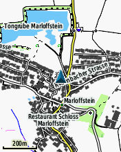
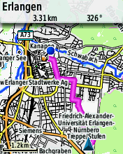
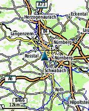
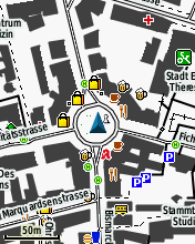
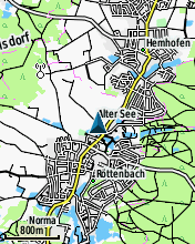
Since summer 2014 there is a Garmin edition of the OpenTopoMap. They can be downloaded from http://garmin.opentopomap.org. The license of the Garmin maps is CC-BY-NC-SA and therefore reselling is not allowed. Here are some screenshots:
