https://github.com/oklabflensburg/open-trees-map
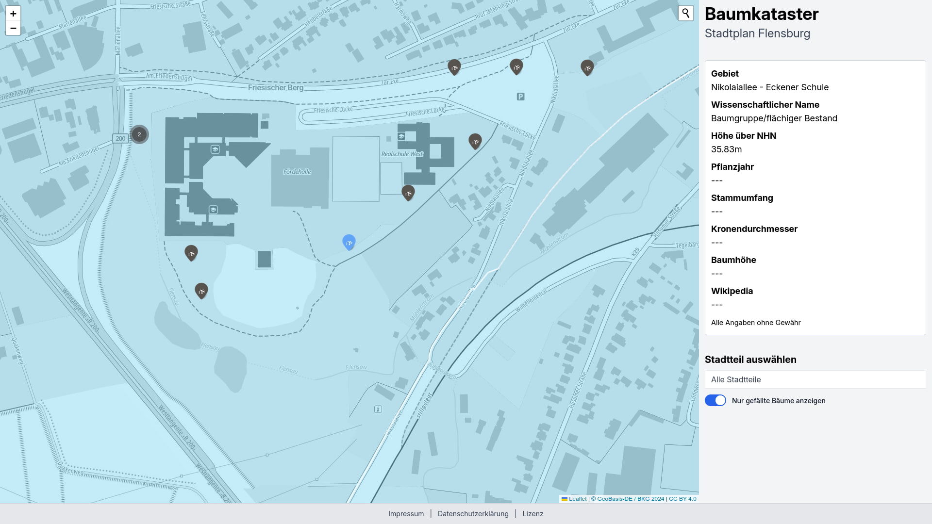
Interaktive webbasierte Karte der lebenden und gefällten Straßenbäume der Stadt Flensburg des TBZ Flensburg
https://github.com/oklabflensburg/open-trees-map
baumkataster geodata geojson hacktoberfest opendata public-domain python
Last synced: 6 months ago
JSON representation
Interaktive webbasierte Karte der lebenden und gefällten Straßenbäume der Stadt Flensburg des TBZ Flensburg
- Host: GitHub
- URL: https://github.com/oklabflensburg/open-trees-map
- Owner: oklabflensburg
- License: cc0-1.0
- Created: 2023-04-28T07:08:45.000Z (over 2 years ago)
- Default Branch: main
- Last Pushed: 2025-04-03T11:50:14.000Z (7 months ago)
- Last Synced: 2025-04-19T05:32:24.407Z (6 months ago)
- Topics: baumkataster, geodata, geojson, hacktoberfest, opendata, public-domain, python
- Language: HTML
- Homepage: https://baumkataster-flensburg.de
- Size: 15.8 MB
- Stars: 3
- Watchers: 3
- Forks: 3
- Open Issues: 0
-
Metadata Files:
- Readme: README.md
- Contributing: CONTRIBUTING.md
- License: LICENSE
Awesome Lists containing this project
README
# Baumkataster Flensburg
[](https://github.com/oklabflensburg/open-trees-map/actions/workflows/lint-css.yml)
[](https://github.com/oklabflensburg/open-trees-map/actions/workflows/lint-html.yml)
[](https://github.com/oklabflensburg/open-trees-map/actions/workflows/lint-js.yml)
[](https://github.com/oklabflensburg/open-trees-map/actions/workflows/lighthouse.yml)
Interaktive webbasierte Baumkataster Karten basierend auf Daten des TBZ Flensburg
## Haftungsausschluss
_Das OK Lab Flensburg hostet die zum Download bereitgestellten Daten des TBZ Flensburg ohne inhaltliche Änderung als Feature Service über über die Webseite [https://baumkataster-flensburg.de](https://baumkataster-flensburg.de) und stellt diese auf einer interaktiven Karte für Analysen zur Verfügung. Alle Daten werden ungeprüft und ohne Gewähr auf deren Genauigkeit zur Verfügung gestellt. Das OK Lab Flensburg übernimmt hierfür keinerlei Haftung und Gewähr._
## Datenquelle
- https://opendata.schleswig-holstein.de/dataset/baumkataster-flensburg-2023-05-11
## Prerequisite
Install system dependencies and clone repository
```
sudo apt install git git-lfs virtualenv python3 python3-pip postgresql-15 postgresql-15-postgis-3 postgis
git clone https://github.com/oklabflensburg/open-trees-map.git
```
Create dot `.env` file inside root directory. Make sure to add the following content repaced by your actual values
```
BASE_URL=http://localhost
CONTACT_MAIL=mail@example.com
CONTACT_PHONE="+49xx"
PRIVACY_CONTACT_PERSON="Firstname Lastname"
ADDRESS_NAME="Address Name"
ADDRESS_STREET="Address Street"
ADDRESS_HOUSE_NUMBER="House Number"
ADDRESS_POSTAL_CODE="Postal Code"
ADDRESS_CITY="City"
DB_PASS=postgres
DB_HOST=localhost
DB_USER=postgres
DB_NAME=postgres
DB_PORT=5432
```
## Update repository
```
git pull
git lfs pull
```
## Create SQL schema
Run sql statements inside `open-trees-map` root directory
```
sudo -i -Hu postgres psql -U postgres -h localhost -d postgres -p 5432 < data/baumkataster_schema.sql
```
## Transform projection
Notice, this must only be done when felling of trees dataset added
> Note, calling `transform_epsg.py` has three parameters, first is the source second the source projection EPSG number and last the destination EPSG number. Make sure to verify that your EPSG number are the correct one.
```
cd tools
virtualenv venv
source venv/bin/activate
pip install -r requirements.txt
python transform_epsg.py ../data/baumfaellungen_flensburg_2023.csv 31467 4326
deactivate
```
## Merge inventory fellings
Notice, this must only be done when felling of trees dataset has been updated
> Note, calling `merge_fellings.py` has two parameters, first one is the path the fellings file, most likely a csv file. The second one is the path of the inventory file most likely a geojson file. Make sure to verify that both files are valid and test results.
```
cd tools
virtualenv venv
source venv/bin/activate
pip install -r requirements.txt
python merge_fellings.py ../data/baumfaellungen_flensburg_2023.csv ../data/baumkataster_flensburg.geojson
deactivate
```
## Convert latest Geojson
Notice, this must only be done when updating dataset
```
cd tools
virtualenv venv
source venv/bin/activate
pip install -r requirements.txt
python convert_geojson.py ../data/baumkataster_flensburg.geojson OBJECT_ID TREE_TYPE type TRUNK_DIAMETER CROWN_DIAMETER TOTAL_HEIGHT PLANT_YEAR hochwert rechtswert place
deactivate
```
## Import inventory
Required when you want to fetch data via API
```
cd tools
virtualenv venv
source venv/bin/activate
pip install -r requirements.txt
python insert_species.py ../data/tree_species.csv
python insert_inventory.py ../data/baumkataster_flensburg.geojson
python update_districts.py
python update_species.py
python merge_districts.py ../data/baumkataster_flensburg.geojson
deactivate
```
## How many trees from the same species
```sql
SELECT
ts.species_german,
ti.tree_species,
COUNT(*) AS amount
FROM
tree_inventory AS ti
LEFT JOIN
tree_species AS ts ON ts.species_latin = ti.tree_species
GROUP BY
ti.tree_species,
ts.species_german
ORDER BY
amount DESC;
```
## How many trees per district?
This query retrieves data from the tree inventory, calculates the count of trees in each district, and computes the district's area in square kilometers.
```sql
SELECT
d.name AS district_name,
COUNT(*) AS district_count,
ROUND(CAST(ST_Area(d.wkb_geometry::geography) / 1000000 AS numeric), 2) AS district_area
FROM
tree_inventory AS ti
JOIN
districts AS d ON d.id = ti.district_id
GROUP BY
ti.district_id, d.name, d.wkb_geometry
ORDER BY
district_count DESC;
```
```
district_name | district_count | district_area
------------------+----------------+---------------
Friesischer Berg | 3215 | 4.23
Westliche Höhe | 2762 | 4.68
Weiche | 1751 | 8.04
Mürwik | 1610 | 6.54
Nordstadt | 1588 | 4.07
Fruerlund | 1565 | 2.51
Tarup | 1502 | 5.27
Engelsby | 1154 | 3.75
Südstadt | 1139 | 5.17
Jürgensby | 944 | 1.41
Sandberg | 718 | 2.33
Altstadt | 410 | 0.57
Neustadt | 320 | 0.47
(13 rows)
```
## Export Baumarten
```
GRANT USAGE ON SCHEMA public TO postgres;
GRANT SELECT ON ALL TABLES IN SCHEMA public TO postgres;
GRANT USAGE, SELECT ON SEQUENCE tree_species_pkey_seq TO postgres;
sudo chown user:postgres data/unknown_species.csv
COPY (SELECT type FROM baumkataster WHERE tkey IS NULL GROUP BY type) TO 'data/unknown_species.csv' WITH DELIMITER ',' CSV HEADER;
sudo chown user:user data/unknown_species.csv
```
## Dump Baumarten
```
pg_dump -h localhost -p 5432 -U postgres -d postgis_db -t tree_species > tree_species.sql
```
## TODO
- Remove duplicates from `data/tree_species.csv`