https://github.com/pysal/momepy
Urban Morphology Measuring Toolkit
https://github.com/pysal/momepy
morphological-analysis morphology morphometrics urban urban-morphometrics urban-street-networks
Last synced: about 1 year ago
JSON representation
Urban Morphology Measuring Toolkit
- Host: GitHub
- URL: https://github.com/pysal/momepy
- Owner: pysal
- License: bsd-3-clause
- Created: 2018-03-30T17:29:09.000Z (over 8 years ago)
- Default Branch: main
- Last Pushed: 2025-04-22T12:37:30.000Z (about 1 year ago)
- Last Synced: 2025-05-18T17:18:41.804Z (about 1 year ago)
- Topics: morphological-analysis, morphology, morphometrics, urban, urban-morphometrics, urban-street-networks
- Language: Python
- Homepage: https://docs.momepy.org
- Size: 107 MB
- Stars: 533
- Watchers: 21
- Forks: 65
- Open Issues: 26
-
Metadata Files:
- Readme: README.md
- Contributing: docs/contributing.rst
- License: LICENSE
- Citation: CITATION.cff
Awesome Lists containing this project
README
# momepy
[](http://docs.momepy.org/en/latest/?badge=latest) [](https://github.com/pysal/momepy/actions?query=workflow%3ATests)
[](https://codecov.io/gh/pysal/momepy) [](https://discord.gg/he6Y8D2ap3) [](https://doi.org/10.21105/joss.01807)
## Introduction
Momepy is a library for quantitative analysis of urban form - urban morphometrics. It is
part of [PySAL (Python Spatial Analysis Library)](http://pysal.org) and is built on top
of [GeoPandas](http://geopandas.org), other [PySAL](http://pysal.org) modules, and
[networkX](http://networkx.github.io).
> *momepy* stands for Morphological Measuring in Python
Some of the functionality that momepy offers:
- Measuring [dimensions](https://docs.momepy.org/en/latest/api.html##measuring-dimension) of morphological elements, their parts, and aggregated structures.
- Quantifying [shapes](https://docs.momepy.org/en/latest/api.html#measuring-shape) of geometries representing a wide range of morphological features.
- Capturing [spatial distribution](https://docs.momepy.org/en/latest/api.html#measuring-spatial-distribution) of elements of one kind as well as relationships between different kinds.
- Computing density and other types of [intensity](https://docs.momepy.org/en/latest/api.html#measuring-intensity) characters.
- Calculating [diversity](https://docs.momepy.org/en/latest/api.html#measuring-diversity) of various aspects of urban form.
- Capturing [connectivity](https://docs.momepy.org/en/latest/api.html#measuring-connectivity) of urban street networks.
- Generating relational [elements](https://docs.momepy.org/en/latest/api.html#managing-morphological-elements) of urban form (e.g. morphological tessellation).
Momepy aims to provide a wide range of tools for a systematic and exhaustive analysis of urban form. It can work with a wide range of elements, while focused on building footprints and street networks.
Comments, suggestions, feedback, and contributions, as well as bug reports, are very welcome.
The package is currently maintained by [**@martinfleis**](https://github.com/martinfleis) and [**@jGaboardi**](https://github.com/jGaboardi).
## Getting Started
A quick and easy [getting-started guide](http://docs.momepy.org/en/stable/user_guide/getting_started.html) is part of the [User Guide](http://docs.momepy.org/en/stable/user_guide/intro.html).
## Documentation
Documentation of `momepy` is available at [docs.momepy.org](https://docs.momepy.org/).
## Examples
```py
tessellation['area_simpson'] = momepy.simpson(tessellation.area, contiguity_k3)
```
```py
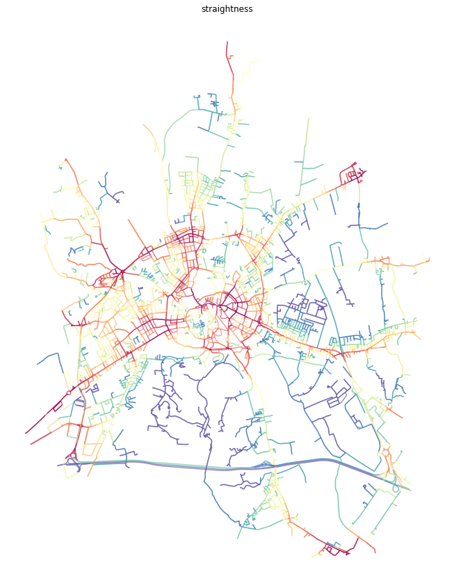
G = momepy.straightness_centrality(G)
```
## How to cite
To cite `momepy` please use the following [software paper](https://doi.org/10.21105/joss.01807)](https://doi.org/10.21105/joss.01807) published in the JOSS.
Fleischmann, M. (2019) ‘momepy: Urban Morphology Measuring Toolkit’, Journal of Open Source Software, 4(43), p. 1807. doi: 10.21105/joss.01807.
BibTeX:
@article{fleischmann_2019,
author={Fleischmann, Martin},
title={momepy: Urban Morphology Measuring Toolkit},
journal={Journal of Open Source Software},
year={2019},
volume={4},
number={43},
pages={1807},
DOI={10.21105/joss.01807}
}
## Install
You can install `momepy` using Conda from `conda-forge` (recommended):
conda install -c conda-forge momepy
or from PyPI using `pip`:
pip install momepy
See the [installation instructions](http://docs.momepy.org/en/latest/install.html) for detailed instructions.
Momepy depends on the Python geospatial stack, which might cause some dependency issues.
## Contributing to momepy
Contributions of any kind to momepy are more than welcome. That does not mean new code only, but also:
- improvements to the documentation and user guide,
- additional tests (ideally filling the gaps in the existing suite),
- bug reports, or
- ideas for what could be added or done better.
All contributions should go through our GitHub repository. Bug reports, ideas, or even questions should be raised by opening an issue on the GitHub tracker. Suggestions for changes in code or documentation should be submitted as a pull request. However, if you are not sure what to do, feel free to open an issue. All discussions will then take place on GitHub to keep the development of momepy transparent.
If you decide to contribute to the codebase, ensure that you are using an up-to-date `main` branch. The latest development version will always be there, including the documentation (powered by `sphinx`).
Details are available in the [documentation](https://docs.momepy.org/).
## Get in touch
If you have a question regarding momepy, feel free to open an [issue](https://github.com/pysal/momepy/issues/new/choose) or a new [discussion](https://github.com/pysal/momepy/discussions) on GitHub.
## Acknowledgments
The initial release of momepy was a result of research of [Urban](http://udsu-strath.com) Design Studies Unit (UDSU)](http://udsu-strath.com) supported by the Axel and Margaret Ax:son Johnson Foundation as a part of “The Urban Form Resilience Project” in partnership with the University of Strathclyde in Glasgow, UK. Further development was supported by the [Geographic Data Science Lab](https://www.liverpool.ac.uk/geographic-data-science/) of the University of Liverpool within the [Urban Grammar AI](https://urbangrammarai.xyz) research project.
---
Copyright (c) 2018-, Martin Fleischmann and PySAL Developers